A World War I scenario | Determining the starting military of each country and their fronts | |
By
Commieslav, in Scenarios - Offtopic
-
Similar Content
-
- 29 replies
- 1,713 views
-
- 9 replies
- 5,629 views
-
- 494 replies
- 159,379 views
-
- 5 replies
- 3,236 views
-
- 0 replies
- 1,516 views
-
-
Our picks
-
Age of History 3 - October 23rd, 2024 - Official release date
Łukasz Jakowski posted a topic in Informations,
Age of History 3 - Official release date
Steam: October 23rd, 2024
Android: When it's ready
iOS: When it's ready
Epic: When it's ready
-
-
- 0 replies
Picked By
Łukasz Jakowski, -
-
Campaign: Small Scenarios
Łukasz Jakowski posted a topic in Ideas,
In this topic, share your ideas for Campaign scenarios.
These scenarios focus on a small part of the map, with the rest designated as wasteland.
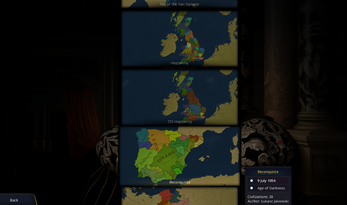
For example, a scenario of the Reconquista in 1054, where gameplay takes place only on the Iberian Peninsula.
What are your ideas for small historical scenarios?
-
-
- 106 replies
Picked By
Łukasz Jakowski, -
-
Events - Common events for every civilization in the game
Łukasz Jakowski posted a topic in Ideas,
Hi,
in this topic, I am interested in your ideas for events that can happen for every Civilization in the game.
I'm also interested in Missions for every Civilization.
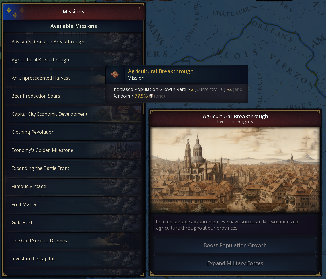
Here is some example, have more than 10k army, have more than 5000 gold, build 10 buildings, recruit an Advisor, increase tax efficiency 20 times, be largest producer of some resource in the world, unlock 5 Civilization legacies etc.-
-
- 196 replies
Picked By
Łukasz Jakowski, -
-
First preview of the Alpha version of Age of History 3
Łukasz Jakowski posted a topic in Informations,
First preview of the Alpha version of Age of History 3, YouTube.
Release date: When it's ready 😛 Subscribe for more!
-
-
- 203 replies
Picked By
Łukasz Jakowski, -
-
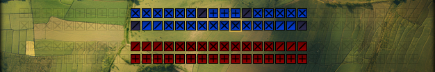
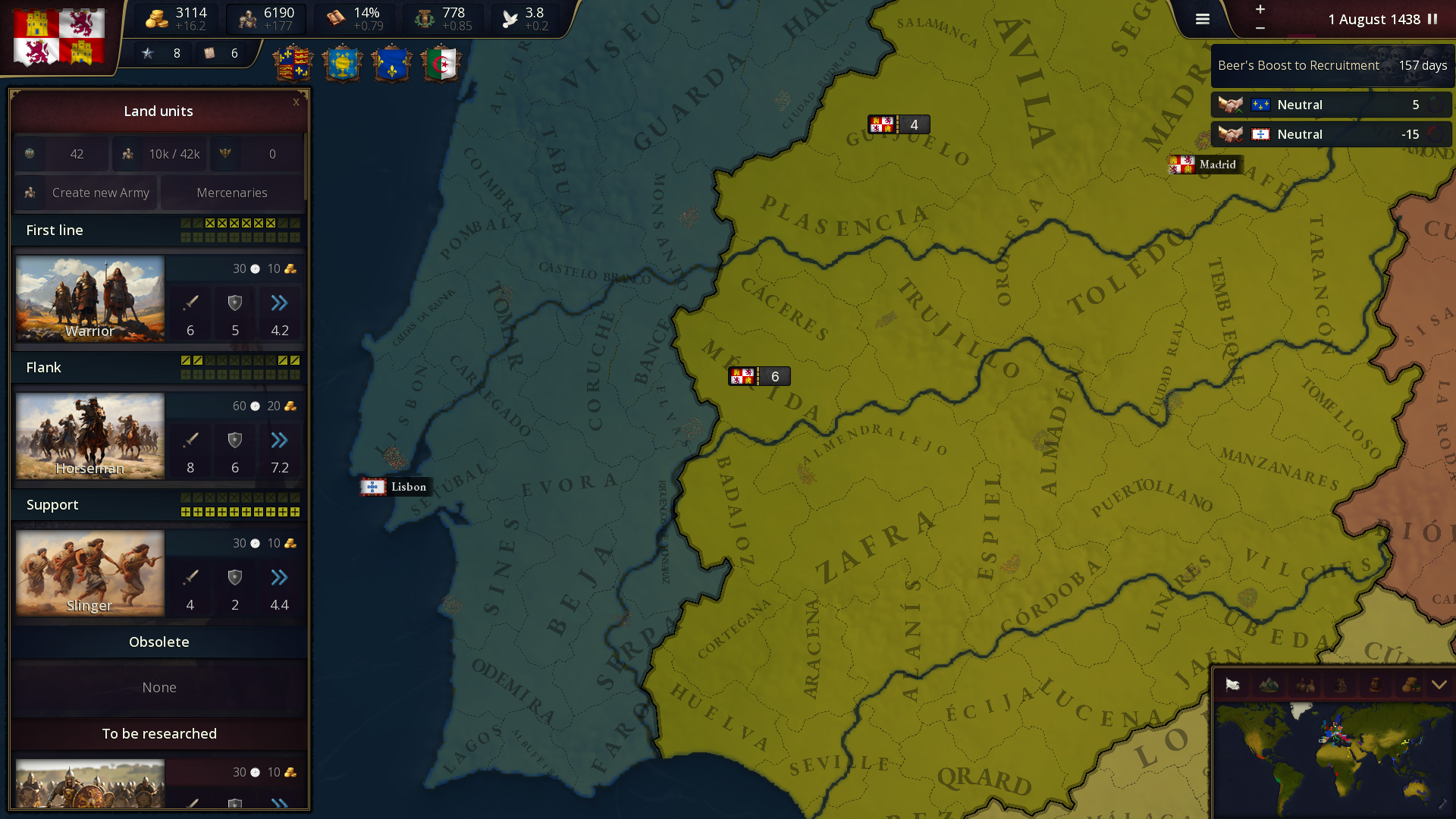
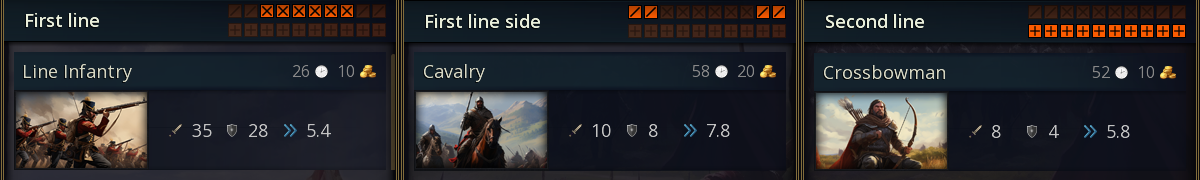
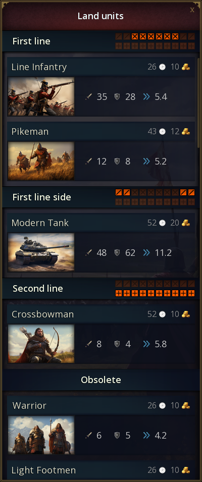
Land units - Ideas AoH3
Łukasz Jakowski posted a topic in Ideas,
AoH3 will have different types of land units.
In this topic we will write ideas for new land units.
So the AoH 3 will have new battle system.
Representation of the battlefield in the game.
Land units will be grouped into 3 types. Each unit will have a different recruitment cost, attack, defense, movement speed and upkeep.
Groups determine the placement of units on the battlefield.
Each unit can be unlocked by researching technology and then upgraded.
Here is the current list of units with upgrades:
First line:
Warrior -> Light Footmen -> Heavy Infantry -> Infantry -> Line Infantry -> Modern Infantry
Hoplites -> Spearmen -> Pikeman -> Elite Pikeman -> Musketeer -> Riflemen -> Mechanized Infantry -> Modern Mechanized Infantry
First line side:
Horseman -> Elite Horseman -> Cavalry -> Tank -> Modern Tank
Second line:
Archer -> Bowmen -> Crossbowman -> Elite Crossbowman
Canon -> Field Cannon -> Artillery -> Modern Artillery
Early Airplane -> Airplane -> Modern Airplane
This is a very early version, so maybe something should be changed?
Or maybe an idea for a new type of unit with upgrades? I'm waiting for your suggestions.
-
-
- 227 replies
Picked By
Łukasz Jakowski, -